

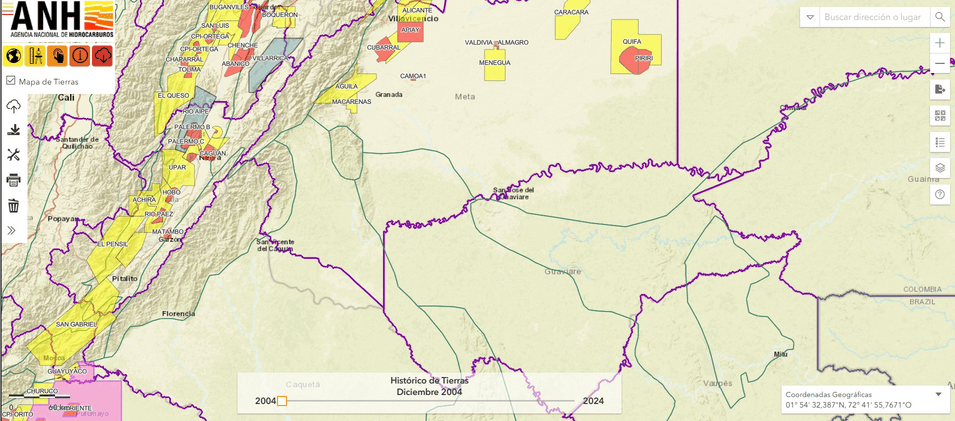
I was using the ANH’s online georeferencing tool the other day and started playing with the slider that shows the “mapa de tierras” for different time periods. That got me thinking about how the map had evolved over time and what that might say about the ANH.
2026, Hydrocarbons Colombia, All Rights Reserved.
 Login
Login Signup